
Why maps are out of this world
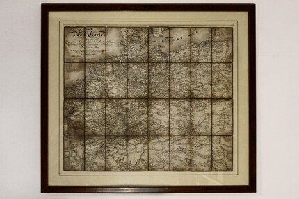
Whether it’s a reference map, nautical chart, geological map, political map or weather map, maps can turn complex topics into straightforward ones. That’s why I’ve bought myself two non-fiction books chronicling Swiss and world history with the help of maps.
The reason I love cartographers is that they explain the world to me. I’d never understand all the abstract primary data behind a map if it weren’t presented to me in a visually appealing way. And to be honest, it wouldn’t interest me either; numbers have never been my passion.

Source: Carolin Teufelberger
People have always felt the need to represent their surroundings visually. A piece of engraved mammoth tusk, which would’ve allowed for the location of huts to be mapped, was once unearthed in modern-day Ukraine: a discovery that’s been traced back to 13,000 BC. There are also well-preserved maps from Mesopotamia, the oldest of which is a clay tablet marked with rivers, mountains and cities. Some, however, have been passed down from the Greek antiquity. The Historian Herdot even gave clear instructions as to how he thought world maps (everything between northern Europe, the Caspian Sea, the West Indies and the Sahel) should be drawn.
Eurocentrism gets a boost from Mercator
A wealth of knowledge was lost when Europe entered the Middle Ages, before considerable advancements in cartography were made in the 16th century. In 1569, Gerhard Mercator produced the first conformal world map. Even today, the Mercator Projection – which accurately reflects angles, but not surface areas – is the most commonly used way to depict the world in map form.
That’s also how it was displayed in the Diercke world atlas I’d take home from school back in the day, leafing through the pages and dreaming of new places. The system portrays countries further from the equator as much larger than they really are. Europe especially, which is often still depicted as being the centre of the world, benefits from this distortion. This drew criticism from Arno Peter and others, who consequently created a map which reflected country surface area in 1974.

Even today, I travel the globe from home using satellite mode on Google Maps. I often do this to put what I’ve read into a geographical context and understand it. Remind me again where the Gulf of Guinea, that place most of today’s pirates have made their stomping ground, is? And why were there international conflicts in the Sinai Peninsula? Aha, that’s where the Suez Canal and the Strait of Tiran, which provide access to the Indian Ocean, are located.
Visual learning with maps
At the moment, however, I’m especially fond of history maps. Although I have a huge interest in historical events, my grasp of many of them is still only superficial. It’s something I’m painfully aware of when my younger brothers are studying for a test and I look through their worksheets. I’m especially hopeless at Swiss history. Something about the Habsburgs, the three-state federation, the Rütli Oath, and on it goes.
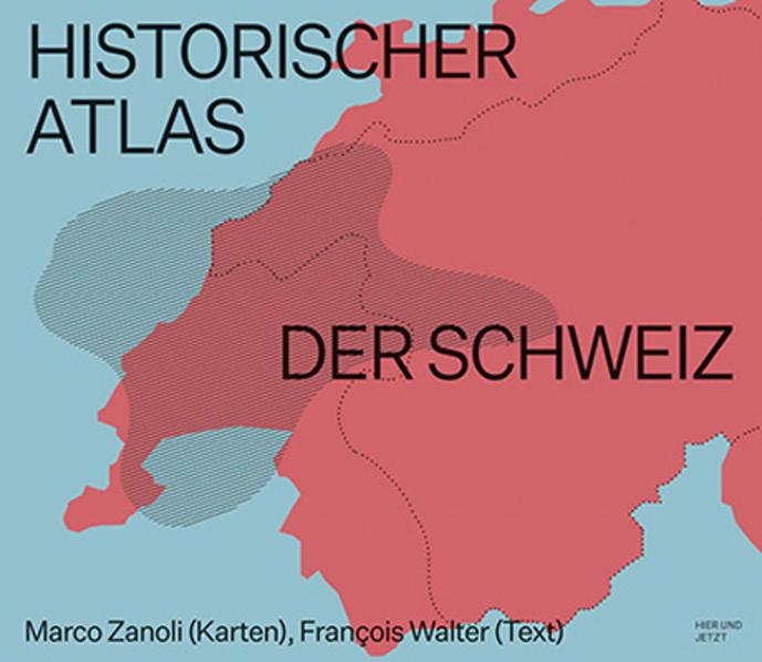
So I bought myself a copy of the «Historischer Atlas der Schweiz» (Historical Atlas of Switzerland). It depicts the Swabian War of 1499, how Basel has developed over the centuries and even what transport connections existed around 1860. The book is divided into different time periods from early history to the beginning of the 21st century. At the beginning of each chapter, there’s a short explanation giving some context to the maps that follow. Because of my lack of knowledge, I’m glad to have this commentary, as opposed to just a short caption.
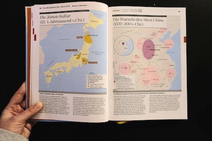
The second book, «Die Geschichte der Welt» (The History of the World) is published by CH Beck and works in pretty much the same way as the Historical Atlas of Switzerland. The only difference being that it deals with the whole world. In its 600 pages, I can look up how the Ottoman Empire looked in the 16th century, how the Mexican Revolution of 1910 to 1917 played out and how the Arab Spring spread. The only downer is that I don’t think the maps are outrageously well illustrated.

Source: Carolin Teufelberger
While the book isn’t yet available on Galaxus, you’ll be able to get it from almost any other online bookshop.
If you don’t already share my enthusiasm for maps, I hope you will now. So much knowledge, so much history, so many perspectives can be found in these two-dimensional drawings. What’s more, they’re often just beautiful to look at – especially historical ones. If you’d rather not flick through a book, I’d recommend watching «Mit offenen Karten» on Arte. The programme uses maps to break down geopolitical and social issues in just a few minutes.
My life in a nutshell? On a quest to broaden my horizon. I love discovering and learning new skills and I see a chance to experience something new in everything – be it travelling, reading, cooking, movies or DIY.
Interesting facts about products, behind-the-scenes looks at manufacturers and deep-dives on interesting people.
Show allThese articles might also interest you

Background information
Trap streets – intentional mistakes made by Google Maps and co.
by Carolin Teufelberger

Background information
Are you sitting on a gold mine? Valuable collector’s items from the nursery
by Michael Restin

Background information
Happy Birthday, Pippi Longstocking! 5 facts about the coolest 80-year-old in the world
by Michael Restin
