Best selling Map
Here's a ranking of the best products in this category. To give you a quick overview, we've also added some key information about the products.
1. Map 700 Switzerland 1:500,000
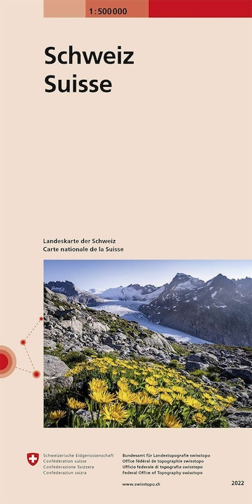
Comprehensive overview of the entire area of Switzerland and the neighboring countries.
- Selection of the most important towns
- Complete railway network, all highways, main roads, and connecting roads
- Highly simplified representation of settlements and terrain
- Names of key features
- The whole of Switzerland and the neighboring countries on one sheet
- Clear depiction of the terrain structure thanks to illustrative relief
- Illustration of glaciers.

2. Switzerland 1 : 1 000 000
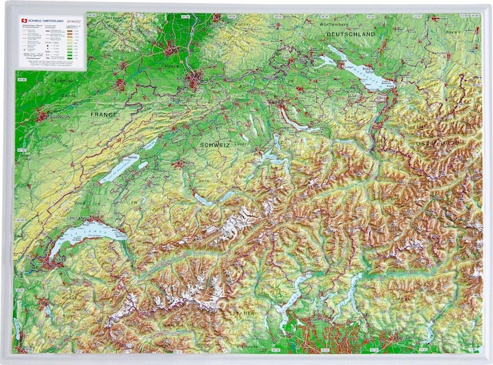
Georeliefs rediscover the world. Experience open-pit mines, valleys, or mountain ranges. Explore the incredible diversity of our Earth's surface through highly accurate relief maps derived from satellite data.
3. Switzerland office and organization card 275000
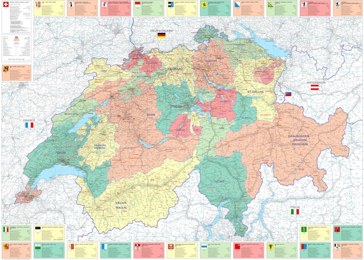
The office and organization map of Switzerland is the perfect poster for your office. Mark the locations that are important to you with pushpins. 138.6 x 99.6 cm.
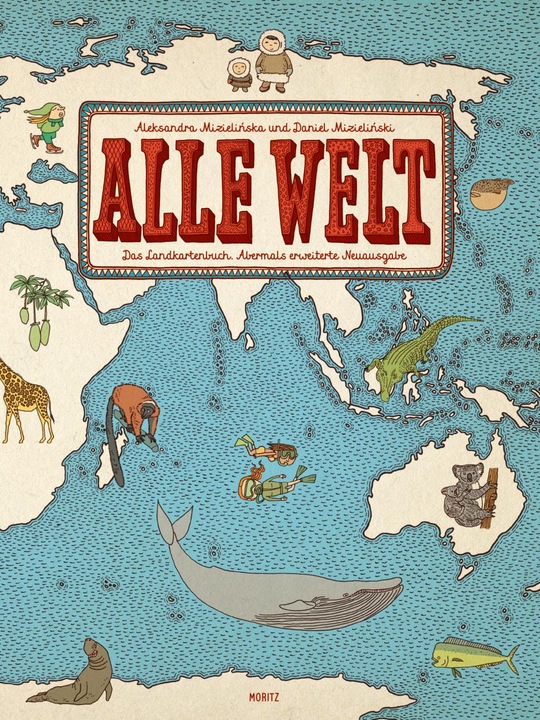
4. All the World. The Map Book
The Warsaw illustrator couple Aleksandra and Daniel Mizieliński expands their globally successful map book with four new countries. Now it can also be discovered that Indonesia is the land of batik, in Nigeria a bean paste is called Moin-Moin, the oldest vine in the world is located in Slovenia, and Abraham's Oak can still be found in the Holy Land. An atlas full of immense wealth of information: 66 countries across all continents are presented with the help of about 7,000 image vignettes.
5. National Geographic The big book of astronomy
The Fascination of the Night Sky
An atlas of the fundamentals of space science, featuring maps of all the planets in our solar system as well as star charts for all seasons and constellations.
For anyone who looks up at the stars and wants to know more, this richly illustrated space atlas provides everything they need. From the basics of space science and maps of all the planets in our solar system to star charts for all four seasons and every constellation, "The Big Book of Astronomy" by National Geographic is the ultimate work to experience and understand the night sky. Let yourself be captivated by the fascination of the night sky.
Over 200 maps and graphics of countless moons and planets.
Impressive astrophotography: more than 350 photos taken from Earth and space.
Star chart: tables and notes on all constellations visible from the northern and southern hemispheres.
Still looking for gifts for astronomy enthusiasts? Then delight them with this comprehensive book about the cosmos.

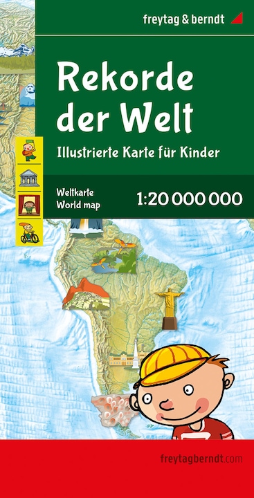
6. World map for children, 1:20,000,000, folded, freytag & berndt
The world map for children is an explorer's map for the whole family. It serves as a guide for both young and old, providing a child-friendly overview and is filled with exciting details. Information about the world map for children: Scale 1:20,000,000, suitable for ages 6 and up, child-friendly design, dimensions: 137.5 x 96 cm.
7. Switzerland TCS Road Map 1:301 000
Official road map Touring Club Switzerland
Kümmerly+Frey together with the Touring Club Switzerland on Swiss roads! This road map offers you numerous advantages:
- State-of-the-art digital cartography
- Up-to-date and clear map image
- Incomparable Swiss quality
- Valuable tourist information and points of interest
- Four-language legend
- Thirteen city overview maps
Accompanying booklet with city index and postcode, travel information, distance table, and road safety TCS.
Scale: 1:301,000.

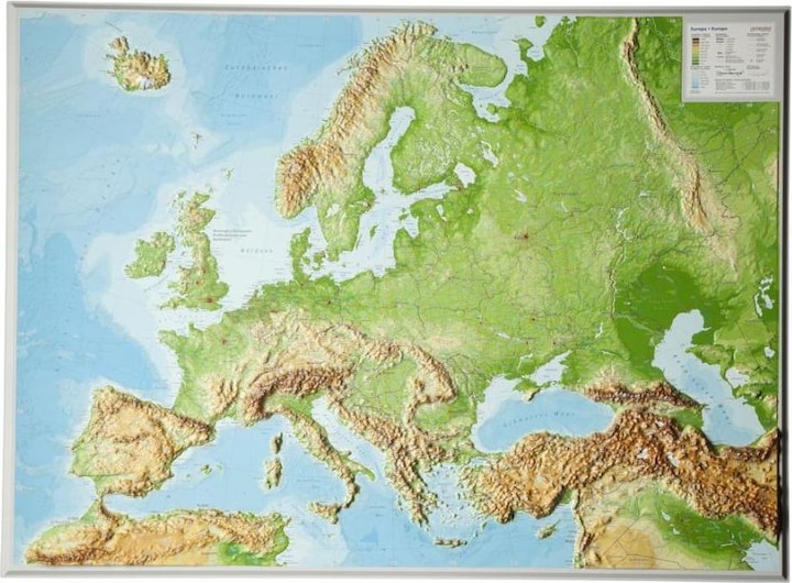
8. Relief map Europe Large 1 : 8 000 000
Georeliefs - rediscover the world. Experience open-pit mines, valleys, or mountain ranges. Discover the incredible diversity of our Earth's surface through highly accurate relief maps derived from satellite data.
9. Italy North + South Road Map 650000
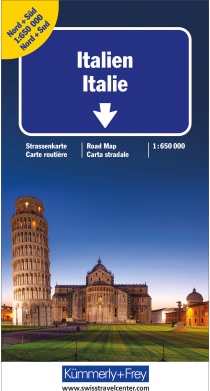
The road maps from Kümmerly+Frey are popular companions for planning a trip, whether on the go or at your destination. Known as the "Blue Maps," they are characterized by a clear map layout and precise cartography. The range includes well over 100 current road and travel maps. All road maps share one thing in common: they are of the highest Swiss quality. Plan and travel with a blue road map from Kümmerly+Frey, and you will be surprised by how much there is to discover and experience.
10. Travel diary (map)
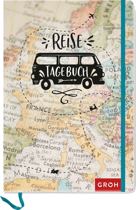
Great travel journal to give as a gift. Do you have a friend, brother, or colleague who loves to travel often? Surprise your loved ones with the travel journal as a thoughtful gesture. Whether it's a long vacation or short trips, the travel book is the perfect companion for any adventure and fits easily into any luggage. Over time, it becomes a personal keepsake of a longer vacation or several short getaways, capturing all the special experiences.
