Best Freytag + Berndt products in the Map category
On this page you'll find a ranking of the best Freytag + Berndt products in this category. To give you a quick overview, we've already ranked the most important information about the products for you.
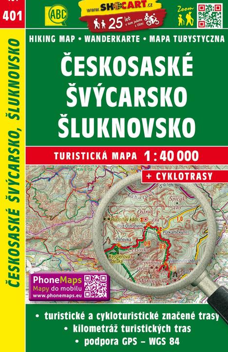
1. Freytag + Berndt Wanderkarte Tschechien Ceskosaske Svycarsko, Sluknovsko 1 : 40 000
Series of hiking maps at a scale of 1:40,000 that covers the entire area of the Czech Republic. The double-sided maps feature larger text for easier reading, come in a new practical pocket format, and include hiking and cycling routes. Additionally, the maps offer an absolute novelty: a star rating system for interesting places. Of course, there is GPS support (WGS 84 network).

2. Freytag + Berndt Tenerife North and South, Hiking Map Set 1:50.000 30000
The hiking map set "Tenerife North and South 1:50,000" consists of two sheets and offers information on hiking trails, huts, natural monuments, places of interest, and leisure facilities. Details include a hiking map set with two sheets, double-sided, tourist information, and hiking recommendations in German, English, and Spanish. It features a town register with postal codes, is GPS-compatible, and includes city maps of Los Cristianos, Playa de las Américas, and Puerto de la Cruz. Freytag & Berndt hiking maps are regularly revised and, thanks to the detailed digital cartography and exact scales, are ideal companions for hiking, mountaineering, and ski tours.

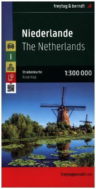
3. Freytag + Berndt Road map of the Netherlands 1:300,000
The road map from Freytag & Berndt is a great travel companion for both those traveling with a travel agency and solo travelers. With it, you can plan your vacation and a pleasant stay on-site without any mishaps. An intelligently prepared and carefully designed map is ideal as a basic navigation tool while driving. You can also use it to complement GPS navigation information. The Freytag & Berndt map stands out among the common maps on the market, particularly due to its transparency and frequent data updates. The high paper quality and convenient folding make it a pleasure to use. The Freytag & Berndt map offers Austrian data precision, friendly graphics, and high quality with a tradition dating back to 1770. Do you think the world has only four sides? The Freytag & Berndt road map collection includes nearly 1000 sightseeing directions across all continents! Those who buy it won’t be disappointed!.
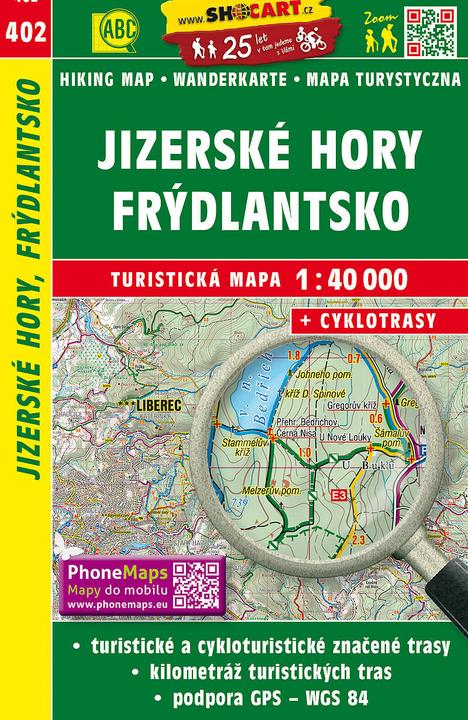
4. Freytag + Berndt Wanderkarte Tschechien Jizerske hory, Frydlantsko 1 : 40 00
A series of hiking maps at a scale of 1:40,000 covering the entire area of the Czech Republic. The double-sided maps feature larger text for easier reading, come in a new practical pocket format, and include hiking and cycling routes. Additionally, the maps offer an absolute novelty: a star rating system for interesting places. Of course, GPS support is available (WGS 84 grid).
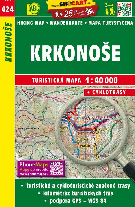
5. Freytag + Berndt Wanderkarte Tschechien Krkonose
Edition series of hiking maps at a scale of 1:40,000, covering the entire area of the Czech Republic. The double-sided maps feature larger text for easier reading, come in a new practical pocket format, and include hiking and cycling routes. Additionally, the maps offer an absolute novelty: a star rating for interesting places. Of course, there is GPS support (WGS 84 network).
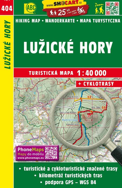
6. Freytag + Berndt Wanderkarte Tschechien Luzicke hory 1 : 40 000
A series of hiking maps at a scale of 1:40,000 that covers the entire area of the Czech Republic. The double-sided maps feature larger text for easier reading, come in a new practical pocket format, and include hiking and cycling routes. Additionally, the maps offer an absolute novelty: a star rating system for interesting places. Of course, GPS support is also available (WGS 84 grid).
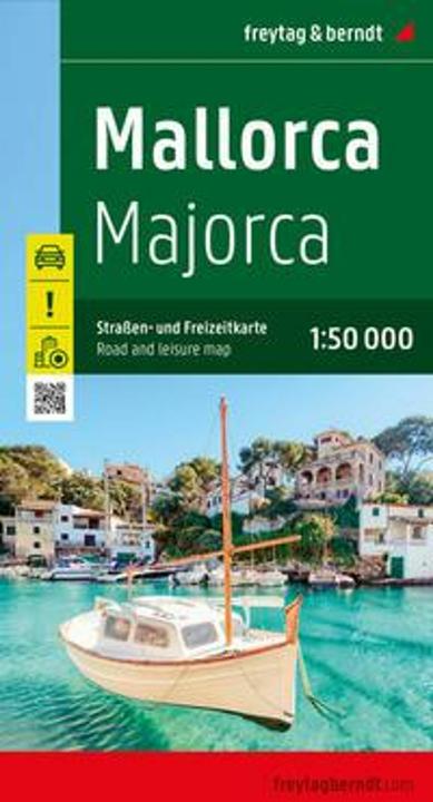
7. Freytag + Berndt Žemėlapis - Maljorka 1:50 000
With the road map of Mallorca at a scale of 1:50,000, vacationers traveling by car or motorcycle will find their way easily. The extensive road network is accurately depicted, with distances and many points of interest marked on the map.
Information about the Mallorca road map:
- Scale 1:50,000
- Tourist information
- Includes info guide
- Place index with postal codes
- City map of Palma de Mallorca
- Approx. 136 x 93 cm, double-sided
Car and motorcycle riders particularly appreciate the precise cartography by freytag & berndt for planning and orientation on-site. Printed in Austria.
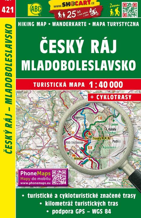
8. Freytag + Berndt Wanderkarte Tschechien Cesky raj, Mladobleslavsko 1 : 40 000
A series of hiking maps at a scale of 1:40,000 covering the entire Czech Republic. The double-sided maps feature larger text for easier reading, come in a new practical pocket format, and include foot and cycling trails. Additionally, the maps offer a completely new feature: a star rating system for interesting places. Of course, GPS support is also provided (WGS 84 grid).
