Best selling Maps from Collins
On this page you'll find a ranking of the best Collins products in this category. To give you a quick overview, we've already ranked the most important information about the products for you.
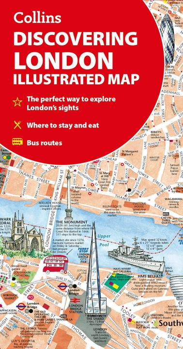
1. Collins Discovering London Illustrated Map
The "Discovering London Illustrated Map" is a newly designed map that offers a unique and artistic perspective on the sights and landmarks of London. This hand-coloured map is not only a practical tool for travellers but also a visual experience that captures the beauty and diversity of the city. With detailed representations of key locations, including theatres, cinemas, and comprehensive travel information, this map is an essential tool for anyone looking to explore London. The map is at a scale of 1:8,250 (7.5 inches per mile) and provides precise orientation in the central area of London. It is folded, making it easy to carry, which makes it ideal for use on the go.

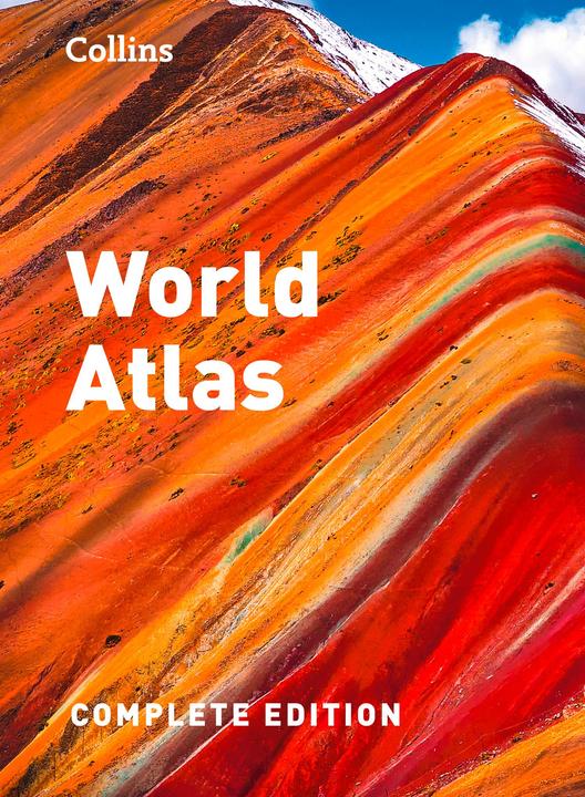
2. Collins World Atlas: Complete Edition
The "World Atlas: Complete Edition" from Collins Publishers is a comprehensive reference work that offers a detailed and up-to-date representation of the world. This fully updated edition includes a variety of regional and global maps that allow readers to navigate the complex geography of our planet. In addition to the maps, important topics such as natural disasters, population development, climate, and the environment are also addressed. The atlas provides a wealth of statistics and facts that facilitate the comparison of development levels across different countries and promote a better understanding of today's world. The combination of informative content and engaging visual presentation makes this atlas a valuable tool for education and research.

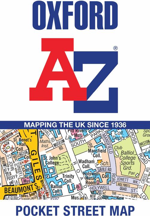
3. Collins Oxford A-Z Pocket Street Map
The Oxford A-Z Pocket Street Map is a comprehensive reference tool for anyone looking to navigate Oxford. This up-to-date, folded street map provides detailed information on 1,600 streets in and around Oxford, including the renowned colleges of the University of Oxford. The map also covers significant neighborhoods such as Jericho, Cowley, Botley, Carfax, St Giles, Headington, Marston, and the University Parks. With a scale of 1:5.5 miles (1 km to 8.68 cm), it allows for precise navigation through the city. The map is a valuable resource not only for tourists but also for locals to find their way around the city.

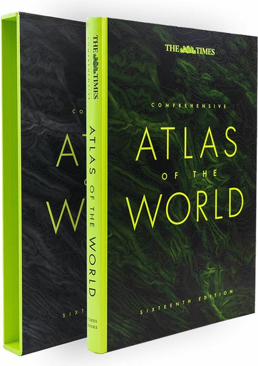
4. Collins The Times Comprehensive Atlas of the World
Delight in the world's most authoritative atlas, a unique and timeless gift for all occasions. Now in its 16th edition, this atlas has been extensively updated.
